


ISSUE

Friday, May 1, 2026
Volume 17 . Issue 17

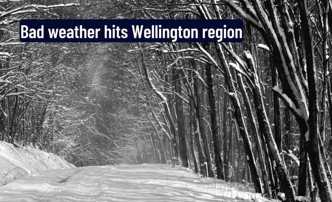
Wellington is in for some rough weather today, with ferry sailings cancelled and seven-metre high waves expected on the South Coast.
Wellington Region Emergency Management is urging surfers, swimmers, fishers and small boat owners to stay away from the sea.
The large swells have lead to the cancellation of ferry sailings across the Cook Strait with Interislander cancelling its 11am and 2.15pm sailings from Picton, as well as the 8.30pm sailing from Wellington.
Bluebridge has cancelled its 1.30pm and 8.30pm Wellington to Picton sailings, as well as the 2.00pm and 7.15pm Picton to Wellington crossings.
Regional manager Jeremy Holmes said 5m waves were expected from later this afternoon and they would increase to 7m waves early this evening.
By tomorrow morning the waves were expected to have dropped back to about 4m, he said.
"The good news is that the highest waves, the seven metre waves, are not expected to coincide with high tide and that's likely to be around midnight or the early hours of the morning.
"So we expect the impacts to be quite minimal in terms of inundation like we've seen in the past."
Despite that, the size of the waves meant that people were encouraged to stay away from the coastal area, Holmes said.
MetService had forecast southerly to south-westerly winds, but exactly when the winds would change and what direction they would come from was unclear at this stage, he said.
Dependant on wind direction different parts of the South Coast could be affected and Wellington Region Emergency Management is preparing for that, he said.
"So for example if you take for Owhiro Bay, obviously if it comes from a southerly direction then some parts will be affected, if it comes from the south-west then other parts will be affected.
"Likewise it's likely to affect Wellington harbour in a similar way - we're expecting an increase of between 10 and 20cm of water in the harbour during the course of the next day or so."
Depending on the wind direction that could mean different parts of the harbour are effected and it may hit places like Eastbourne and Petone, Holmes said.
He warned motorists in those areas to drive to the conditions, but said if people in those areas could work from home that would be preferable.
MetService has a heavy rain warning in place for Wairarapa south of Featherston with up to 90mm expected to accumulate from 7am until 7pm tonight.
"That is likely to cause some surface flooding and possible slips in that part of the region," Holmes said.
Wellington is in for some rough weather today, with ferry sailings cancelled and seven-metre high waves expected on the South Coast.
Wellington Region Emergency Management is urging surfers, swimmers, fishers and small boat owners to stay away from the sea.
The large swells have lead to the...
Wellington is in for some rough weather today, with ferry sailings cancelled and seven-metre high waves expected on the South Coast.
Wellington Region Emergency Management is urging surfers, swimmers, fishers and small boat owners to stay away from the sea.
The large swells have lead to the cancellation of ferry sailings across the Cook Strait with Interislander cancelling its 11am and 2.15pm sailings from Picton, as well as the 8.30pm sailing from Wellington.
Bluebridge has cancelled its 1.30pm and 8.30pm Wellington to Picton sailings, as well as the 2.00pm and 7.15pm Picton to Wellington crossings.
Regional manager Jeremy Holmes said 5m waves were expected from later this afternoon and they would increase to 7m waves early this evening.
By tomorrow morning the waves were expected to have dropped back to about 4m, he said.
"The good news is that the highest waves, the seven metre waves, are not expected to coincide with high tide and that's likely to be around midnight or the early hours of the morning.
"So we expect the impacts to be quite minimal in terms of inundation like we've seen in the past."
Despite that, the size of the waves meant that people were encouraged to stay away from the coastal area, Holmes said.
MetService had forecast southerly to south-westerly winds, but exactly when the winds would change and what direction they would come from was unclear at this stage, he said.
Dependant on wind direction different parts of the South Coast could be affected and Wellington Region Emergency Management is preparing for that, he said.
"So for example if you take for Owhiro Bay, obviously if it comes from a southerly direction then some parts will be affected, if it comes from the south-west then other parts will be affected.
"Likewise it's likely to affect Wellington harbour in a similar way - we're expecting an increase of between 10 and 20cm of water in the harbour during the course of the next day or so."
Depending on the wind direction that could mean different parts of the harbour are effected and it may hit places like Eastbourne and Petone, Holmes said.
He warned motorists in those areas to drive to the conditions, but said if people in those areas could work from home that would be preferable.
MetService has a heavy rain warning in place for Wairarapa south of Featherston with up to 90mm expected to accumulate from 7am until 7pm tonight.
"That is likely to cause some surface flooding and possible slips in that part of the region," Holmes said.
Leave a Comment