Gales, rain and snow for parts of the country as weather fronts barrel in

Heavy rain and severe gales are in store for parts of the country over the next two days, while snow is forecast for the far south.
Severe gale northwesterlies are forecast for central New Zealand with with gusts reaching 120 kilometres per hour, MetService says.
The forecaster issued an orange strong wind warning for Wellington and parts of Wairarapa and Marlborough from Tuesday evening through to 5am Wednesday.

Much of the rest of the South Island was under a strong wind watch and MetService meteorologist David Miller said that could be upgraded for some areas.
"The far south of the South Island in particular may see very strong winds later Tuesday into Wednesday morning," Miller said.
The strong wind watches were in place for Marlborough south of Ward, the Canterbury Plains, Canterbury High Country, Banks Peninsula, Fiordland, Queenstown Lakes, Central Otago, Southland including Stewart Island, North Otago, Dunedin and Clutha through to Wednesday.


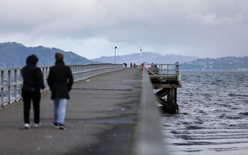
File photo. A cloudy day at Petone Wharf, Lower Hutt. MetService issued an orange strong wind warning for parts of the Wellington and Wairarapa regions. Photo: RNZ / Rebekah Parsons-King
Heavy rain was forecast for parts of Westland and headwaters of Canterbury and Otago lakes and rivers.
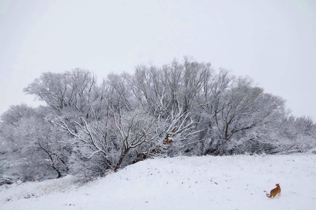
As well as the wind and the rain, snow was expected to low levels on Tuesday night into Wednesday morning for the lower parts of the South Island.

Snow was forecast to fall low as 300 metres in Queenstown Lakes, Central Otago and inland parts of Dunedin on Wednesday morning, and to 200m in Southland, Clutha and Fiordland.
Lindis Pass (SH8), the Crown Range Road and Milford Road (SH94) were likely to have snow on the road above 800m.
"People travelling along alpine roads in the coming days are advised to keep an eye out for active road snow warnings," Miller said.

The remainder of the North Island was likely to feel the effects from these fronts as they cross the country from Wednesday, he said.
"Eastern parts of the North Island, as well as Auckland and Northland, will experience strong-to-gale westerly winds, and strong wind watches or warnings may be issued for these areas as these systems approach the North Island."
The end of the week was likely to be more settled as a ridge of high pressure was forecast to push on to the country from the west from Thursday.


